
Maps of Holocene Sea Level Transgression and Submerged Lakes on the Sunda Shelf
DOI:
https://doi.org/10.58837/tnh.6.2.102930Keywords:
Maps, Holocene, Sea levels, Sunda Shelf, Marine transgression, Submerged lakes, Submerged depressionsAbstract
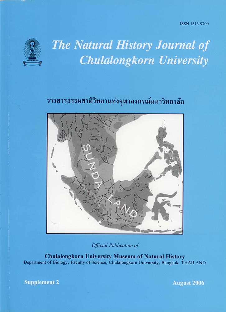
Color maps are presented that depict Holocene sea level transgressions and probable submerged lakes on the Sunda Shelf in Southeast Asia. The present-day topography of the Sunda Shelf and the existence of present-day submerged depressions on the Sunda Shelf have been detected through spatial analysis of the Sunda Shelf using the Digital Elevation Model (DEM) developed from the ETOPO2 Global 2’ Elevation data. These depressions could be paleo-lakes that existed when the Sunda Shelf was exposed during the Last Glacial Maximum (LGM). These depressions were gradually submerged when the sea level began to rise from –116 m below present-day levels (BPL) during the terminal phase of the LGM, 21 thousand years before present (ka BP) to its maximum, +5m above present-day mean sea level (MSL), during the mid-Holocene (4.2 ka BP). The topography of these depressions is presented on maps and discussed. The results of this study identify several large submerged depressions that may contain sediment dated from the LGM to the midHolocene and we recommend that sediment layers be sampled to confirm or disprove the presence of these proposed fresh water paleo-lakes on the Sunda Shelf.
Downloads
Published
How to Cite
Issue
Section
License
Chulalongkorn University. All rights reserved. No part of this publication may be reproduced, translated, stored in a retrieval system, or transmitted in any form or by any means, electronic, mechanical, photocopying, recording or otherwise, without prior written permission of the publisher