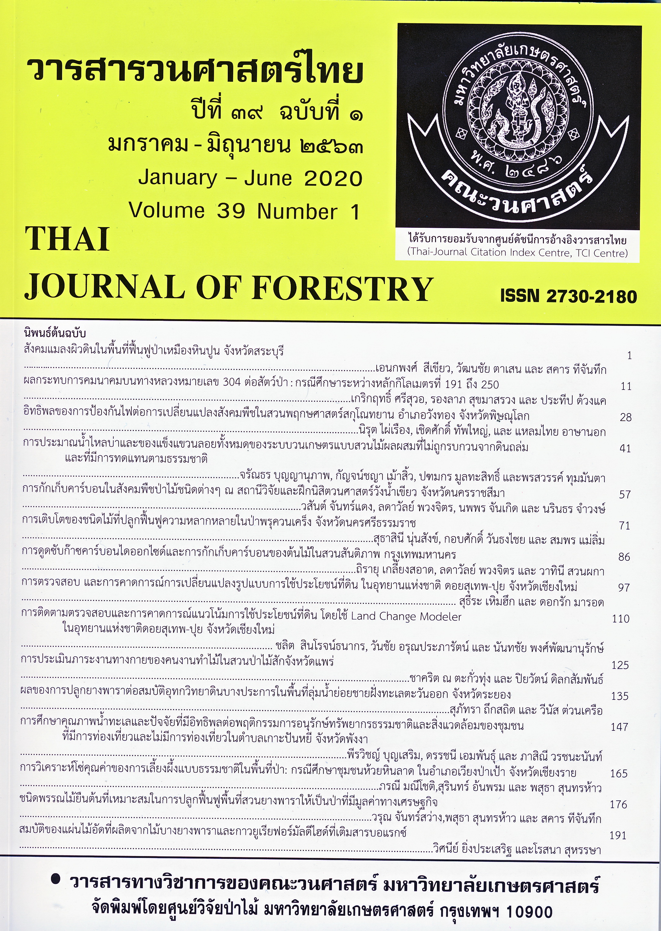
การตรวจสอบและการคาดการณ์การเปลี่ยนแปลงรูปแบบการใช้ประโยชน์ที่ดิน ในอุทยานแห่งชาติดอยสุเทพ-ปุย จังหวัดเชียงใหม่
Main Article Content
บทคัดย่อ
การศึกษาการเปลี่ยนแปลงการใช้ประโยชน์ที่ดินในพื้นที่อนุรักษ์ เป็นสิ่งจำเป็นต่อการกำหนดรูปแบบการจัดการและการป้องกันพื้นที่ เพื่อการลดการเปลี่ยนแปลงของพื้นที่ป่าไม้ การศึกษาครั้งนี้มีวัตถุประสงค์เพื่อศึกษาการเปลี่ยนแปลงการใช้ประโยชน์ที่ดินในพื้นที่อุทยานแห่งชาติดอยสุเทพ-ปุย จังหวัดเชียงใหม่ ระหว่างปี พ.ศ. 2543, 2551 และ 2559 และคาดการณ์การเปลี่ยนแปลงไปในปี 2567 โดยใช้ข้อมูลภาพถ่ายดาวเทียม Landsat 5-TM (2543) และ 8-TM (2551, 2559) ในการศึกษา โดยวิเคราะห์ร่วมระหว่างโปรแกรมสารสนเทศทางภูมิศาสตร์ (ArcGIS ver. 10.1) และโปรแกรม Geospatial Monitoring and Modeling (ver. 9.2) ด้วยวิธีการแบบจำลองของมาร์คอฟ ผนวกกับการเข้าวางแปลงขนาด 30x30 เมตร (ขนาดเท่ากับความละเอียดของภาพถ่ายดาวเทียม) สำรวจพื้นที่จริงในแต่ละรูปแบบการใช้ประโยชน์ที่ดิน
ผลการศึกษาพบว่า พื้นที่ป่าในอุทยานแห่งชาติดอยสุเทพ-ปุย มีการลดลงอย่างต่อเนื่องในช่วงระยะเวลาการศึกษา ในช่วง 16 ปี กล่าวคือ ช่วงแรก (พ.ศ. 2543-2551) และช่วงที่ 2 (พ.ศ. 2551-2559) พื้นที่ป่าเปลี่ยนเป็นพื้นที่เกษตรกรรมและชุมชนประมาณ 2.19
ตร.กม. และ 5.70 ตร.กม. ตามลำดับ โดยเฉพาะป่าผสมผลัดใบ และป่าดิบเขาระดับต่ำ และมีแนวโน้มคล้ายกันในการคาดการณ์ในปี พ.ศ. 2567 ซึ่งแสดงให้เห็นถึงผลกระทบของการกระจายตัวของหย่อมป่า จากการสูญเสียพื้นที่ป่าข้างต้นอาจส่งผลต่อการสูญเสียถิ่นที่อยู่อาศัยของสิ่งมีชีวิต ซึ่งจะทำให้ความหลากหลายทางชีวภาพลดลง ดังนั้น แผนการจัดการควรได้รับการพัฒนาเพื่อการใช้ที่ดินอย่างยั่งยืนต่อไป
Downloads
Article Details
ข้าพเจ้าและผู้เขียนร่วม (ถ้ามี) ขอรับรองว่า ต้นฉบับที่เสนอมานี้ยังไม่เคยได้รับการตีพิมพ์และไม่ได้อยู่ในระหว่างกระบวนการพิจารณาตีพิมพ์ลงในวารสารหรือสิ่งตีพิมพ์อื่นใด ข้าพเจ้าและผู้เขียนร่วม (ถ้ามี) ยอมรับหลักเกณฑ์และเงื่อนไขการพิจารณาต้นฉบับ ทั้งยินยอมให้กองบรรณาธิการมีสิทธิ์พิจารณาและตรวจแก้ต้นฉบับได้ตามที่เห็นสมควร พร้อมนี้ขอมอบลิขสิทธิ์ผลงานที่ได้รับการตีพิมพ์ให้แก่วารสารวนศาสตร์ คณะวนศาสตร์ มหาวิทยาลัยเกษตรศาสตร์ กรณีมีการฟ้องร้องเรื่องการละเมิดลิขสิทธิ์เกี่ยวกับภาพ กราฟ ข้อความส่วนใดส่วนหนึ่ง หรือ ข้อคิดเห็นที่ปรากฏในผลงาน ให้เป็นความรับผิดชอบของข้าพเจ้าและผู้เขียนร่วม (ถ้ามี) แต่เพียงฝ่ายเดียว และหากข้าพเจ้าและผู้เขียนร่วม (ถ้ามี) ประสงค์ถอนบทความในระหว่างกระบวนการพิจารณาของทางวารสาร ข้าพเจ้าและผู้เขียนร่วม (ถ้ามี) ยินดีรับผิดชอบค่าใช้จ่ายทั้งหมดที่เกิดขึ้นในกระบวนการพิจารณาบทความนั้น”
เอกสารอ้างอิง
Boonkird, S.A., E.C.M. Fernandes and P.K.R. Nair. 1984. Forest villages: an agroforestry approach to rehabilitating forest land degraded by shifting cultivation in Thailand. Agroforestry Systems 2: 87-102.
Charnsungnern, M. and S. Tantanasarit. 2017. Environmental sustainability of highland agricultural land use patterns for Mae Raem and Mae Sa watersheds, Chiang Mai province. Kasetsart Journal of Social Sciences 38(2): 169-174.
Elliott, S. and C. Kuaraksa. 2008. Producing framework tree species for restoring forest ecosystems in northern Thailand. Small-scale Forestry 7: 403-415.
Halmy, M.W.A., P.E. Gessler, J.A. Hicke and B.B. Salem. 2015. Land use/land cover change detection and prediction in thenorth-western coastal desert of Egypt using Markov-CA. Applied Geography 63: 101-112.
Hermhuk, S., A. Chaiyes, S. Thinkampheang, N. Danrad and D. Marod. 2019. Land use and above-ground biomass changes in a mountain ecosystem, northern Thailand. Journal of Forestry Research. https://doi.org/10.1007/s11676-019-00924-x.
López, E., G. Bocco, M. Mendoza and E. Duhau. 2001. Predicting land-cover and land-use change in the urban fringe: A case in Morelia city, Mexico. Landscape and Urban Planning 55(4): 271-285.
Marod, D. and P. Duengkae. 2019. Montane forest dynamics based on long-term ecological research at Kog Ma watershed area in northern Thailand, pp. 143-156. In N. Kamata, K. Kuraji, T. Owari and B.T. Guan, eds. Developing a Network of Long-term Research Field Stations to Monitor Environmental Changes and Ecosystem Responses in Asian Forests. The University of Tokyo Forests Press, Bunkyo, Tokyo.
Marod and U. Kutintara. 2009. Forest ecology. Aksorn Siam Publ., Bangkok. (in Thai)
Pathanakiat, S. 2003. Geo-informatics in Ecology and Environment. United-production Co., Ltd., Bangkok. (in Thai)
Pontius Jr., R.G., J.D. Cornell and C.A.S. Hall. 2001. Modeling the spatial pattern of land-use change with GEOMOD2: application and validation for Costa Rica. Agriculture, Ecosystems and Environment 85(1-3): 191-203.
Rerkasem, K., N. Yimyam, C. Korsamphan, C. Thong-Ngam and B. Rerkasem. 2002. Agrodiversity lessons in mountain land management. Mountain Research and Development 22(1): 4-9.
Sahana, M.J., J.J. Jennifer and S. Vanmathy. 2016. Land use/land cover change prediction using CLUE-S model. International Journal of Engineering Science and Technology 6(3): 176-182.
Santisuk, T. 2012. Forest of Thailand. Department of National Parks, Wildlife and Plant Conservation, Bangkok. (in Thai)
Trisurat, Y. 2010. Land use and forested landscape changes at Sakaerat Environmental Research Station in Nakhorn Ratchasima province, Thailand. Ekologia (Bratislava) 29(1): 99-109.
Wang, X. and Y. Bao. 1999. Study on the methods of land use dynamic change research. Progress in Geography 18(1): 81-87.
Yang, Y., S. Zhang, J. Yang, X. Xing and D. Wang. 2015. Using a cellular automata-Markov model to reconstruct spatial land-use patterns in Zhenlai County, Northeast China. Energies 8(5): 3882-3902.
Yarnvudhi, A., S. Sungkaew, S. Hermhuk, P. Sunthornhao and S. Onprom. 2016. Plant diversity and utilization on ethnobotany of local people at Hmong Doi Pui village in Doi Suthep-Pui National Park, Chiang Mai province. Thai Journal of Forestry 35(3): 136-146.
Yimyam, N., S. Lordkaew and B. Rerkasem. 2016. Carbon storage in mountain land use systems in northern Thailand. Mountain Research and Development 36(2): 183-192.


