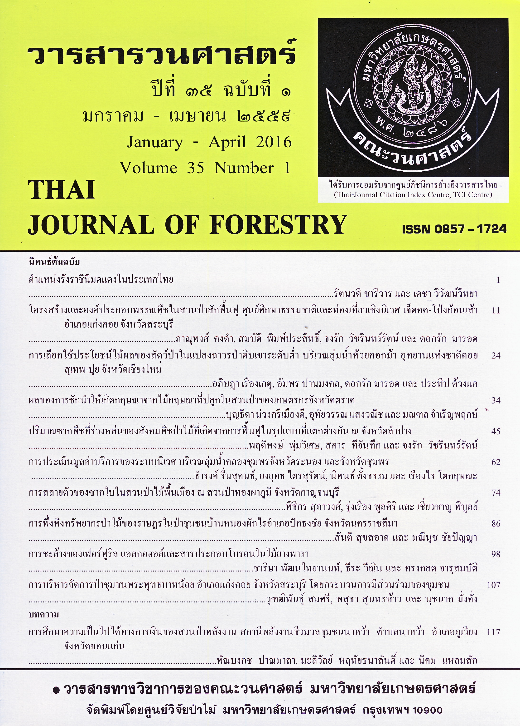
การประเมินมูลค่าบริการของระบบนิเวศ บริเวณลุ่มน้ำคลองชุมพร จังหวัดระนอง และจังหวัดชุมพร
Main Article Content
บทคัดย่อ
Forest area in Klongchumphon Watershed has been converted to para-rubber, oil palm and fruit orchard. Deforestation causes changes in water yield and sediment load in the stream. Severe floods frequently occurred in down stream every year. The objectives of this research were to predict water yield, soil loss and to quantify economic value of nutrient depletion and sediment dredging in Klongchumphon Watershed, Ranong and Chumphon Province as the results of land-use change between 2012 and 2030. Three future land use scenarios were defined including 1) trends, 2) conservation, and 3) development. Geographic Information System (GIS), CLUE-S model, InVEST and USLE were used in this research. The results revealed that the scenario 1 increased area of para-rubber by 11.32 % and reduced forest area by 9.52 %. The converted forest was replaced by para-rubber by 7.73 %. In addition, the scenario 1 would provide annual water yield of 486.64 million m3 and generated sediment loss of 4.60 ton/rai/year. The cost to remove sediment out of the stream was 8.20 baht/rai. The estimated major nutrients loss (N-P-K) were 597.46, 0.01 and 0.22 kilogram/rai, respectively and the accumulated value of nutrients loss was 11,388 baht/rai. The scenario 2 slightly increased rubber plantations (2.30 %) and forest area was stable. It generated annual water yield of 480.16 million m3 and sediment loss of 4.07 ton/rai/year. The
cost to dredging was 7.27 baht/rai. The estimated major nutrients loss (N-P-K) were 529.47, 0.01 and 0.19 kilogram/rai respectively and the accumulated value of nutrients loss was 10,092 baht/rai. The land-use scenario 3 substantially most reduced forest cover by 18.32 % and 9.91 % was converted to rubber plantations. The predicted annual water yield was 494.92 million m3 and the sediment load was 5.07 ton/rai/year. The cost to remove sediment in the stream channel (8.97
baht/rai) and the accumulated value of major nutrients loss (12,455 baht/rai) were the highest among the three land-use scenarios. Based on these findings, the land-use scenario 2 is appropriate for Klongchumphon Watershed because it would generated the least soil erosion and economic loss of soil fertilizers.
Downloads
Article Details
ข้าพเจ้าและผู้เขียนร่วม (ถ้ามี) ขอรับรองว่า ต้นฉบับที่เสนอมานี้ยังไม่เคยได้รับการตีพิมพ์และไม่ได้อยู่ในระหว่างกระบวนการพิจารณาตีพิมพ์ลงในวารสารหรือสิ่งตีพิมพ์อื่นใด ข้าพเจ้าและผู้เขียนร่วม (ถ้ามี) ยอมรับหลักเกณฑ์และเงื่อนไขการพิจารณาต้นฉบับ ทั้งยินยอมให้กองบรรณาธิการมีสิทธิ์พิจารณาและตรวจแก้ต้นฉบับได้ตามที่เห็นสมควร พร้อมนี้ขอมอบลิขสิทธิ์ผลงานที่ได้รับการตีพิมพ์ให้แก่วารสารวนศาสตร์ คณะวนศาสตร์ มหาวิทยาลัยเกษตรศาสตร์ กรณีมีการฟ้องร้องเรื่องการละเมิดลิขสิทธิ์เกี่ยวกับภาพ กราฟ ข้อความส่วนใดส่วนหนึ่ง หรือ ข้อคิดเห็นที่ปรากฏในผลงาน ให้เป็นความรับผิดชอบของข้าพเจ้าและผู้เขียนร่วม (ถ้ามี) แต่เพียงฝ่ายเดียว และหากข้าพเจ้าและผู้เขียนร่วม (ถ้ามี) ประสงค์ถอนบทความในระหว่างกระบวนการพิจารณาของทางวารสาร ข้าพเจ้าและผู้เขียนร่วม (ถ้ามี) ยินดีรับผิดชอบค่าใช้จ่ายทั้งหมดที่เกิดขึ้นในกระบวนการพิจารณาบทความนั้น”
เอกสารอ้างอิง
Bureau of the Budget. 2012. Unit rate. Standard Budget Bureau, Bureau of the Budget, Bangkok. (in Thai)
Department of Internal Trade. 2012. Major fertilizer price rate. Department of Internal Trade, Ministry of Commerce. (in Thai)
Land Development Department. 2000. Soil erosion in Thailand. Land Development Department, Ministry of Agriculture and Co-operatives, Bangkok. (in Thai)
Meteorological Department. 2012. Climate statistics 1983-2012. Meteorological Department, Ministry of Information and Communications Technology, Bangkok. (in Thai)
Nuanmano, N. 2013. Soil Erosion on Kho Hong Hill and Its Economic Loss, Hat Yai District, Songkhla Province. M.S. Thesis, Prince of Songkhla University. (in Thai)
Pontius, R. G. Jr., and L. C. Schneider. 2001. Land-Cover Change Model Validation by an ROC Method for the Ipswich Watershed, Massachusetts, USA. Agriculture, Ecosystems and Environment 85 (1-3):239-248.
Royal Irrigation Department. 2012. Runoff and sediment statistic. Hydrology and water management center for southern region, Royal Irrigation Department, Bangkok. (in Thai)
Tangtham, N. 1984. Soil Erosion Control. Department of Conservation, Faculty of Forestry, Kasetsart University. (in Thai)
Tillis, H.T., T. Ricketts, A.D. Guerry, S.A. Wood, R. Sharp, E. Nelson, D. Ennaanay, S. Wolny, N. Olwero, K. Vigerstol, D. Pennington, G. Mendoza, J. Aukema, J. Foster, J. Forrest, D. Cameron, K. Arkema, E. Lonsdorf, C. Kennedy,G. Verutes, C.K. Kim, G. Guannel,M. Papenfus, J. Toft, M. Marsik and J. Bernhardt. 2011. InVEST 2.2.2 User’s Guide. The Natural Capital Project, Stanford.
Trisurat, Y., R. Alkemade and P.H. Verburg. 2010. Projecting land-use change and its consequences for biodiversity in Northern Thailand. Environ Manag 45: 626-639.
Trisurat, Y. and P. Duengkae. 2011. Consequences of land use change on bird distribution at Sakaerat Environmental Research Station. J. Ecol. Field Biol. 34 (2): 203-214.
Veldkamp, A., and L. O. Fresco. 1996. CLUECR: an integrated multi-scale model to simulate land use change scenarios in Costa Rica. Ecological modeling 91: 231-24.
Verburg, P.H., A. Veldkamp and J. Bouma. 1999. Land use change under conditions of high population pressure: the case of Java. Global Environmental Change 9: 303-312.
Wischmeier, W.H. and D.D. Smith. 1978. Predicting rainfall erosion losses: A guide for conservation planning. 63 p., USDA, Agriculture Hand Book No 537.
World Resources Institute. 2005. Ecosystems and human well-being: Wetlands and water synthesis. United Nations, New York.


