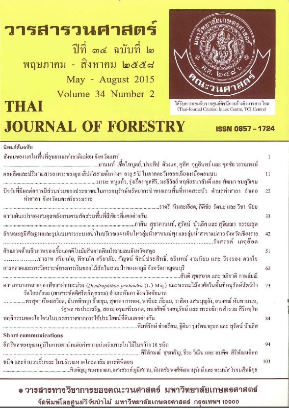
ลักษณะภูมิสัณฐานและรูปแบบการระบายน้ำในบริเวณแผ่นดินไหว ลุ่มน้ำสาขาแม่พุง และลุ่มน้ำสาขาแม่ลาว จังหวัดเชียงราย
Main Article Content
บทคัดย่อ
การวิเคราะห์ลักษณะภูมิสัณฐานและรูปแบบการระบายน้ำในบริเวณแผ่นดินไหวขนาด 6.3 ริกเตอร์ เมื่อวันที่ 5 พฤษภาคม 2557 ซึ่งตั้งอยู่ทางตอนบนของลุ่มน้ำสาขาแม่พุง และมีพื้นที่ต่อเนื่องกับตอนล่างของลุ่มน้ำสาขาแม่ลาว จังหวัดเชียงราย โดยใช้ทฤษฎีภูมิสัณฐานวิทยาร่วมกับระบบสารสนเทศภูมิศาสตร์โปรแกรม ArcGIS 9.3 พบว่า ลักษณะภูมิประเทศมีความลาดเทจากทิศตะวันตกเฉียงเหนือลงสู่ทิศตะวันออกเฉียงใต้ โครงสร้างทางธรณีวิทยาเป็นหินทราย หินปูน หินดินดาน และหินโคลน วางตัวในแนวระนาบและมีความลาดเทน้อย ทับถมด้านบนด้วยตะกอนธารน้ำพา กรวด ทราย ทรายแป้ง และดินเหนียว มีรูปแบบการระบายน้ำเป็นแบบกิ่งไม้ที่มีความหยาบ-ละเอียดของลำน้ำปานกลาง (medium dendritic drainage pattern) และแบบกิ่งไม้ที่มีความหยาบ-ละเอียดของลำน้ำปานกลางถึงละเอียดมาก (medium to fine dendritic drainage pattern) ส่งผลให้ทางน้ำไหลได้อย่างอิสระไม่มีทิศทางที่แน่นอน ลำน้ำสำคัญ ได้แก่ น้ำแม่ลาว น้ำแม่คาว น้ำร่องธาร และน้ำแม่ปอน สำหรับบริเวณที่มีรอยเลื่อนย่อยขนาดเล็ก (fault segment) ซึ่งเป็นส่วนหนึ่งของกลุ่มรอยเลื่อนพะเยาตอนเหนือ (Northern Phayao fault zone) มีรูปแบบการระบายน้ำเป็นแบบตั้งฉาก (rectangular drainage pattern) ตามทิศทางของรอยเลื่อนที่ปรากฏในพื้นที่ โดยมักพบในอันดับลำน้ำที่ 1 และพบว่าผลกระทบจากแผ่นดินไหวไม่ได้ส่งผลต่อการเปลี่ยนแปลงรูปแบบการระบายน้ำในพื้นที่
Downloads
Article Details

อนุญาตภายใต้เงื่อนไข Creative Commons Attribution-NonCommercial-NoDerivatives 4.0 International License.
ข้าพเจ้าและผู้เขียนร่วม (ถ้ามี) ขอรับรองว่า ต้นฉบับที่เสนอมานี้ยังไม่เคยได้รับการตีพิมพ์และไม่ได้อยู่ในระหว่างกระบวนการพิจารณาตีพิมพ์ลงในวารสารหรือสิ่งตีพิมพ์อื่นใด ข้าพเจ้าและผู้เขียนร่วม (ถ้ามี) ยอมรับหลักเกณฑ์และเงื่อนไขการพิจารณาต้นฉบับ ทั้งยินยอมให้กองบรรณาธิการมีสิทธิ์พิจารณาและตรวจแก้ต้นฉบับได้ตามที่เห็นสมควร พร้อมนี้ขอมอบลิขสิทธิ์ผลงานที่ได้รับการตีพิมพ์ให้แก่วารสารวนศาสตร์ คณะวนศาสตร์ มหาวิทยาลัยเกษตรศาสตร์ กรณีมีการฟ้องร้องเรื่องการละเมิดลิขสิทธิ์เกี่ยวกับภาพ กราฟ ข้อความส่วนใดส่วนหนึ่ง หรือ ข้อคิดเห็นที่ปรากฏในผลงาน ให้เป็นความรับผิดชอบของข้าพเจ้าและผู้เขียนร่วม (ถ้ามี) แต่เพียงฝ่ายเดียว และหากข้าพเจ้าและผู้เขียนร่วม (ถ้ามี) ประสงค์ถอนบทความในระหว่างกระบวนการพิจารณาของทางวารสาร ข้าพเจ้าและผู้เขียนร่วม (ถ้ามี) ยินดีรับผิดชอบค่าใช้จ่ายทั้งหมดที่เกิดขึ้นในกระบวนการพิจารณาบทความนั้น”


