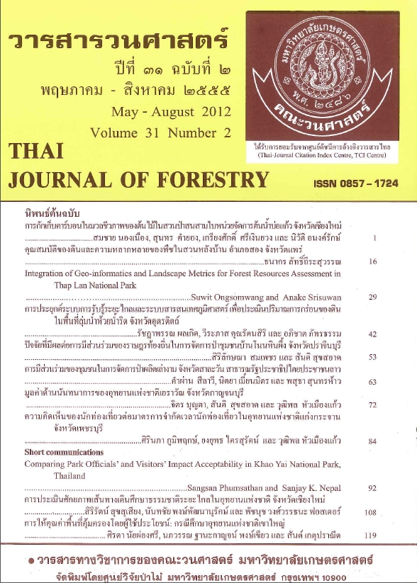
Integration of Geo-informatics and Landscape Metrics for Forest Resources Assessment in Thap Lan National Park
Main Article Content
บทคัดย่อ
The main objective of the study was to assess the status of and changes in the landscape and landscape types using geo-informatics and landscape metrics. Landsat-TM images from 1987, 2005 and 2007 were used initially to classify 14 land use and land cover classes by digital image processing and visual interpretation. Then, the 14 land use and land cover classes were reclassified into seven landscape types: forest, natural forest succession and forest plantation, urban and built-up, agriculture, grassland, water bodies and miscellaneous landscape to assess their status and changes to the landscape and landscape types using landscape metrics.
The assessment of the status and changes at the landscape level indicated that all three landscape metrics (dominance, contagion and fractal dimension) continued to decrease. The landscape change metric was 0.044 during 1987–2005 while it was 0.060 between 2005 and 2007. These results imply that Thap Lan National Park and its surroundings had become more fragmented at the landscape level in the past 20 years. Meanwhile, the landscape types, number of patches and patch density for all landscape types increased and the mean patch area decreased during 1987–2005, suggesting that fragmentation had occurred in all landscape types over this period. However, the number of patches and patch density for forest and natural forest succession and forest plantation decreased and their mean patch areas increased during 2005–2007, indicating that these landscape types were now compact. In addition, the mean Euclidean nearest-neighbor distance for forest and natural forest succession and forest plantation decreased during 1987–2005. However, these metrics were increased during 2005 and 2007. Furthermore, the interspersion and juxtaposition index increased in both periods for almost all landscape types except agricultural land where there was a decrease during 2005–2007 and grassland where there was a decrease during 1987–2005. These results implied that new patches for almost all landscape types occurred during 1987–2007 except for grassland between 1987 and 2005 and agricultural land between 2005 and 2007. In the same manner, during 1987–2007, the area-weighted fractal dimensions for the forest, natural forest succession and forest plantation landscape types continuously decreased.
Keywords: Geo-informatics, Landscape metrics, Dong Phra Yayen-Khao Yai Forest Complex World Heritage, Thap Lan National Park
Downloads
Article Details

อนุญาตภายใต้เงื่อนไข Creative Commons Attribution-NonCommercial-NoDerivatives 4.0 International License.
ข้าพเจ้าและผู้เขียนร่วม (ถ้ามี) ขอรับรองว่า ต้นฉบับที่เสนอมานี้ยังไม่เคยได้รับการตีพิมพ์และไม่ได้อยู่ในระหว่างกระบวนการพิจารณาตีพิมพ์ลงในวารสารหรือสิ่งตีพิมพ์อื่นใด ข้าพเจ้าและผู้เขียนร่วม (ถ้ามี) ยอมรับหลักเกณฑ์และเงื่อนไขการพิจารณาต้นฉบับ ทั้งยินยอมให้กองบรรณาธิการมีสิทธิ์พิจารณาและตรวจแก้ต้นฉบับได้ตามที่เห็นสมควร พร้อมนี้ขอมอบลิขสิทธิ์ผลงานที่ได้รับการตีพิมพ์ให้แก่วารสารวนศาสตร์ คณะวนศาสตร์ มหาวิทยาลัยเกษตรศาสตร์ กรณีมีการฟ้องร้องเรื่องการละเมิดลิขสิทธิ์เกี่ยวกับภาพ กราฟ ข้อความส่วนใดส่วนหนึ่ง หรือ ข้อคิดเห็นที่ปรากฏในผลงาน ให้เป็นความรับผิดชอบของข้าพเจ้าและผู้เขียนร่วม (ถ้ามี) แต่เพียงฝ่ายเดียว และหากข้าพเจ้าและผู้เขียนร่วม (ถ้ามี) ประสงค์ถอนบทความในระหว่างกระบวนการพิจารณาของทางวารสาร ข้าพเจ้าและผู้เขียนร่วม (ถ้ามี) ยินดีรับผิดชอบค่าใช้จ่ายทั้งหมดที่เกิดขึ้นในกระบวนการพิจารณาบทความนั้น”


