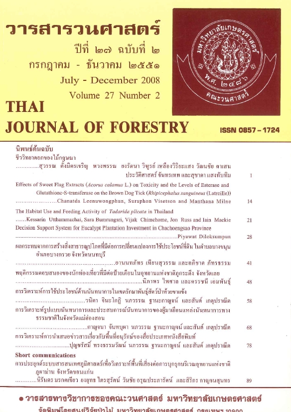
การประยุกต์ระบบสารสนเทศภูมิศาสตร์เพื่อวิเคราะห์พื้นที่เสี่ยงต่อการบุกรุกบริเวณ อุทยานแห่งชาติภูผาม่าน จังหวัดขอนแก่น
Main Article Content
บทคัดย่อ
การศึกษาครั้งนี้มีวัตถุประสงค์เพื่อศึกษาการเปลี่ยนแปลงสภาพการใช้ประโยชน์ที่ดินบริเวณอุทยานแห่งชาติภูผาม่าน วิเคราะห์ปัจจัยที่มีผลต่อการบุกรุกพื้นที่ป่าไม้ ระหว่าง พ.ศ. 2535 - พ.ศ. 2549 กำหนดพื้นที่เสี่ยงต่อการบุกรุกพื้นที่ป่าไม้ โดยใช้ระบบสารสนเทศภูมิศาสตร์ และการวิเคราะห์การถดถอยแบบโลจิสติก เพื่อหาความสัมพันธ์ระหว่างปัจจัยแวดล้อมค้านกายภาพ และเศรษฐกิจ-สังคม กับการเปลี่ยนแปลงพื้นที่ป่าไม้ และจัดทำแผนที่ระดับความเสี่ยงต่อการบุกรุกพื้นที่ป่าในอนาคต ผลการศึกษาพบว่า บริเวณอุทยานแห่งชาติภูผาม่าน ประกอบด้วยการใช้ประ โยชน์ที่ดิน 7 ประเภท คือ ป่าเต็งรัง ป่าเบญจพรรณ สวนป่า นาข้าว พืชไร่และพืชสวน แหล่งชุมชน และแหล่งน้ำ พื้นที่ป่าไม้มีการเปลี่ยนแปลงจาก 667.97 ตารางกิโลเมตร ใน พ.ศ. 2535 เหลือ 573.57 ตารางกิโลเมตร ใน พ.ศ. 2549 หรือลดลง 94.40 ตารางกิโลเมตร คิดเป็นร้อยละ 8.96 โดยเปลี่ยนสภาพไปเป็น นาข้าว 8.28 ตารางกิโลเมตร พืชไร่และพืชสวน 66.22 ตารางกิโลเมตร แหล่งชุมชน 18.98 ตารางกิโลมตร และแหล่งน้ำ 0.92 ตารางกิโลเมตร ปัจจัยที่มีความสัมพันธ์กับการบุกรุกพื้นที่ป่า ประกอบด้วย 5 ปัจจัย ได้แก่ ระยะห่างจากแหล่งชุมชน ระยะห่างจากแหล่งน้ำ ระยะห่างจากพื้นที่เกษตร สัดส่วนของพื้นที่ทำไร่ต่อพื้นที่เกษตร และความอุดมสมบูรณ์ของดิน ผลการศึกษพบว่า พื้นที่เสี่ยงต่อการถูกบุกรุกน้อยมาก พื้นที่เสี่ยงต่อการถูกบุกรุกน้อยพื้นที่เสี่ยงต่อการถูกบุกรุกปานกลาง พื้นที่เสี่ยงต่อการถูกบุกรุกสูง และพื้นที่เสี่ยงต่อการถูกบุกรุกสูงมากครอบคลุมพื้นที่ เท่ากับ 256.38, 101.88. 121.77, 223.24 และ 383.36 ตารางกิโลเมตร ตามลำดับโดยพื้นที่เสี่ยงต่อการถูกบุกรุกน้อย และน้อยมาก เป็นพื้นที่ป่าภายในเขตอุทยานแห่งชาติภูผาม่าน และเขตกันชน ซึ่งอยู่ในอุทยานแห่งชาติภูกระดึงและเขตรักษาพันธ์สัตว์ป่าภูเขียว ห่างไกลแหล่งชุมชน ส่วนพื้นที่เสี่ยงต่อการถูกบุกรุกสูง และสูงมาก พบโดยรอบพื้นที่ป่าที่มีการใช้ที่ดินเป็นแหล่งชุมชน และเกษตรกรรม
คำสำคัญ: ระบบสารสนเทศภูมิศาสตร์ การบุกรุก พื้นที่เสี่ยง อุทยานแห่งชาติภูผาม่าน
Downloads
Article Details

อนุญาตภายใต้เงื่อนไข Creative Commons Attribution-NonCommercial-NoDerivatives 4.0 International License.
ข้าพเจ้าและผู้เขียนร่วม (ถ้ามี) ขอรับรองว่า ต้นฉบับที่เสนอมานี้ยังไม่เคยได้รับการตีพิมพ์และไม่ได้อยู่ในระหว่างกระบวนการพิจารณาตีพิมพ์ลงในวารสารหรือสิ่งตีพิมพ์อื่นใด ข้าพเจ้าและผู้เขียนร่วม (ถ้ามี) ยอมรับหลักเกณฑ์และเงื่อนไขการพิจารณาต้นฉบับ ทั้งยินยอมให้กองบรรณาธิการมีสิทธิ์พิจารณาและตรวจแก้ต้นฉบับได้ตามที่เห็นสมควร พร้อมนี้ขอมอบลิขสิทธิ์ผลงานที่ได้รับการตีพิมพ์ให้แก่วารสารวนศาสตร์ คณะวนศาสตร์ มหาวิทยาลัยเกษตรศาสตร์ กรณีมีการฟ้องร้องเรื่องการละเมิดลิขสิทธิ์เกี่ยวกับภาพ กราฟ ข้อความส่วนใดส่วนหนึ่ง หรือ ข้อคิดเห็นที่ปรากฏในผลงาน ให้เป็นความรับผิดชอบของข้าพเจ้าและผู้เขียนร่วม (ถ้ามี) แต่เพียงฝ่ายเดียว และหากข้าพเจ้าและผู้เขียนร่วม (ถ้ามี) ประสงค์ถอนบทความในระหว่างกระบวนการพิจารณาของทางวารสาร ข้าพเจ้าและผู้เขียนร่วม (ถ้ามี) ยินดีรับผิดชอบค่าใช้จ่ายทั้งหมดที่เกิดขึ้นในกระบวนการพิจารณาบทความนั้น”


