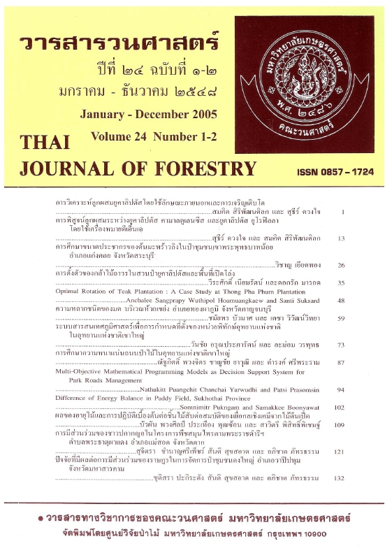
ระบบสารสนเทศภูมิศาสตร์เพื่อการกำหนดที่ตั้งของ หน่วยพิทักษ์อุทยานแห่งชาติในอุทยานแห่งชาติเขาใหญ่
Main Article Content
บทคัดย่อ
การวิจัยครั้งนี้มีวัตถุประสงค์เพื่อพัฒนากระบวนการในการกำหนดที่ตั้งหน่วยพิทักษ์อุทยานแห่งชาติด้วยระบบสารสนเทศภูมิศาสตร์ โดยเลือกอุทยานแห่งชาติเขาใหญ่เป็นพื้นที่ศึกษาเนื่องจากเป็นอุทยานแห่งชาติที่มีการพัฒนาโครงสร้างพื้นฐานและกำหนดรูปแบบการบริหารจัดการพื้นที่ที่ชัดเจนและค่อนข้างคงที่ โดยเริ่มต้นจากการใช้แบบสอบถามกับหัวหน้าอุทยานแห่งชาติทางบก ผู้เชี่ยวชาญด้านการบริหารจัดการอุทยานแห่งชาติ และคณาจารย์คณะวนศาสตร์ มหาวิทยาลัยเกษตรศาสตร์ที่รับผิดชอบงานสอนและวิจัยทางด้านอุทยานและนันทนาการรวมจำนวนทั้งสิ้น 125 ราย เกี่ยวกับปัจจัยแวดล้อมทางกายภาพชี วภาพ และสังคม ที่ใช้ในการพิจารณาเพื่อกำหนดที่ตั้งหน่วยพิทักษ์อุทยานแห่งชาติ และได้รับแบบสอบถามคืนมาจำนวน 76 ราย คิดเป็นร้อยละ 62.80 ซึ่งสรุปได้ว่าปัจจัยหลัก 5 อันดับแรกที่ควรนำมาพิจารณาในกระบวนการกำหนดที่ตั้งหน่วยพิทักษ์อุทยานแห่งชาติประกอบด้วย 1) เส้นทางคมนาคม 2) แหล่งน้ำ 3) ที่ตั้งแหล่งชุมชน 4) ที่ตั้งแหล่งนันทนาการและ 5) ชนิดของสังคมพืชป่าไม้จึงได้ดำเนินการสร้างฐานข้อมูลระบบสารสนเทศภูมิศาสตร์ของปัจจัยทั้ง 5 ครอบคลุมพื้นที่อุทยานแห่งชาติเขาใหญ่และโดยรอบในระยะ 5 กิโลเมตร แล้วกำหนดค่าคะแนนระดับความเหมาะสมให้กับปัจจัยทั้ง 5 ปัจจัยโดยใช้เทคนิคการสร้างแนวกันชน หลังจากนั้นจึงได้รวมชั้นข้อมูลทั้งหมดเข้าด้วยกันด้วยเทคนิคการซ้อนทับชั้นข้อมูลเพื่อทำการประเมินระดับความเหมาะสมรวมโดยจำแนกระดับความเหมาะสมรวมของพื้นที่ต่อการจัดตั้งหน่วยพิทักษ์อุทยานแห่งชาติออกเป็น 3 ระดับ คือ เหมาะสมมาก เหมาะสมปานกลาง และเหมาะสมน้อย ผลการศึกษาพบว่า พื้นที่อุทยานแห่งชาติเขาใหญ่ที่มีความเหมาะสมมากต่อการจัดตั้งหน่วยพิทักษ์อุทยานแห่งชาติ มีเนื้อที่ 87,603.87 ไร่ คิดเป็นร้อยละ 6.40 เหมาะสมปานกลางมีเนื้อที่ 1,090,072.90 ไร่ คิดเป็นร้อยละ 79,64 และเหมาะสมน้อยมีเนื้อที่ 191,129.48 ไร่ คิดเป็นร้อยละ 13.96 เมื่อนำชั้นข้อมูลที่ตั้งหน่วยพิทักษ์อุทยานแห่งชาติปัจจุบันจำนวน 25 หน่วยฯ ซ้อนทับลงบนแผนที่แสดงระดับความเหมาะสมของพื้นที่ต่อการจัดตั้งหน่วยพิทักษ์อุทยานแห่งชาติ พบว่า ที่ตั้งหน่วยพิทักษ์อุทยานแห่งชาติปัจจุบันอยู่ในพื้นที่ที่มีความเหมาะสมมาก เหมาะสมปานกลาง และเหมาะสมน้อย เป็นจำนวน 9, 12 และ 4 หน่วยฯ ตามลำดับสรุปได้ว่าเทคนิคของระบบสารสนเทศภูมิศาสตร์มีความเหมาะสมต่อการนำมาใช้ในการกำหนดที่ตั้งหน่วยพิทักษ์อุทยานแห่งชาติโดยใช้ปัจจัยแวดล้อมตามหลักการทางวิทยาศาสตร์ อันทำให้การบริหารจัดการพื้นที่อุทยานแห่งชาติดำเนินไปอย่างมีประสิทธิภาพมากยิ่งขึ้นในระยะยาว
Downloads
Article Details

อนุญาตภายใต้เงื่อนไข Creative Commons Attribution-NonCommercial-NoDerivatives 4.0 International License.
ข้าพเจ้าและผู้เขียนร่วม (ถ้ามี) ขอรับรองว่า ต้นฉบับที่เสนอมานี้ยังไม่เคยได้รับการตีพิมพ์และไม่ได้อยู่ในระหว่างกระบวนการพิจารณาตีพิมพ์ลงในวารสารหรือสิ่งตีพิมพ์อื่นใด ข้าพเจ้าและผู้เขียนร่วม (ถ้ามี) ยอมรับหลักเกณฑ์และเงื่อนไขการพิจารณาต้นฉบับ ทั้งยินยอมให้กองบรรณาธิการมีสิทธิ์พิจารณาและตรวจแก้ต้นฉบับได้ตามที่เห็นสมควร พร้อมนี้ขอมอบลิขสิทธิ์ผลงานที่ได้รับการตีพิมพ์ให้แก่วารสารวนศาสตร์ คณะวนศาสตร์ มหาวิทยาลัยเกษตรศาสตร์ กรณีมีการฟ้องร้องเรื่องการละเมิดลิขสิทธิ์เกี่ยวกับภาพ กราฟ ข้อความส่วนใดส่วนหนึ่ง หรือ ข้อคิดเห็นที่ปรากฏในผลงาน ให้เป็นความรับผิดชอบของข้าพเจ้าและผู้เขียนร่วม (ถ้ามี) แต่เพียงฝ่ายเดียว และหากข้าพเจ้าและผู้เขียนร่วม (ถ้ามี) ประสงค์ถอนบทความในระหว่างกระบวนการพิจารณาของทางวารสาร ข้าพเจ้าและผู้เขียนร่วม (ถ้ามี) ยินดีรับผิดชอบค่าใช้จ่ายทั้งหมดที่เกิดขึ้นในกระบวนการพิจารณาบทความนั้น”


