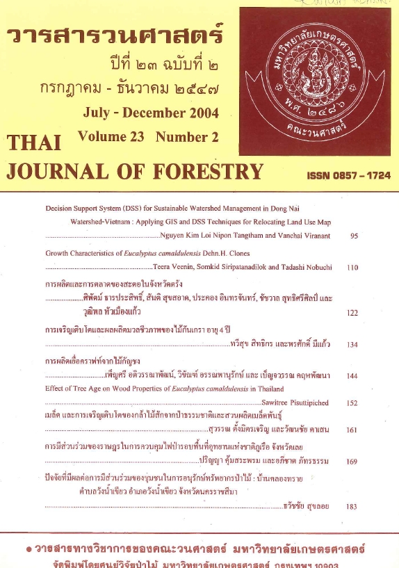
DECISION SUPPORT SYSTEM (DSS) FOR SUSTAINABLE WATERSHED MANAGEMENT IN DONG NAI WATERSHED-VIETNAM: APPLYING GIS AND DSS TECHNIQUES FOR RELOCATING LAND USE MAP
Main Article Content
บทคัดย่อ
Decision makers today need to be able to rapidly find good solutions to increasingly complex problems. Optimization based on decision support system (DSS) can help decision makers to meet this challenge. Building such systems, however, is expensive and time consuming. In this study, DSS was developed using linear programming (LP), goal programming (GP), and geographic information system (GIS) for sustainable watershed management in Dong Nai watershed (589,078 ha), Southern Vietnam. A case study approach is undertaken using 'what-if "planning scenarios. The multi-objective linear programming (MOLP) techniques and GIS have been applied to display the optimum land resource allocation in different scenario, in order to evaluate the sustainable strategy of land development in a watershed. The information incorporated into the optimization objectives include economic benefits characterized by net income, sediment yield, and water discharge. The constraint set thereby consists of the limitations of carrying capacity of various land-use programs and assimilative capacity corresponding to different impacts on water quantity, sediment yield. The type of spatial planning problems described in this paper allocates different land uses across a geographical region. subject to a variety of constraints and conflicting management objectives. This complex land use planning decisions were made not only on what to do (selection of activities) but also on where to do it (i.e., relocate a new set of suitable land use for different scenarios), adding a whole extra class of decision variables to the problem. The new location of suitable land use has been manipulated using the given criteria in term of slope, soil depth, and rainfall. The algorithm was developed in ArcView GIS software to relocate land use map in Dong Nai watershed. The developed DSS performed very well in Dong Nai watershed.
Downloads
Article Details

อนุญาตภายใต้เงื่อนไข Creative Commons Attribution-NonCommercial-NoDerivatives 4.0 International License.
ข้าพเจ้าและผู้เขียนร่วม (ถ้ามี) ขอรับรองว่า ต้นฉบับที่เสนอมานี้ยังไม่เคยได้รับการตีพิมพ์และไม่ได้อยู่ในระหว่างกระบวนการพิจารณาตีพิมพ์ลงในวารสารหรือสิ่งตีพิมพ์อื่นใด ข้าพเจ้าและผู้เขียนร่วม (ถ้ามี) ยอมรับหลักเกณฑ์และเงื่อนไขการพิจารณาต้นฉบับ ทั้งยินยอมให้กองบรรณาธิการมีสิทธิ์พิจารณาและตรวจแก้ต้นฉบับได้ตามที่เห็นสมควร พร้อมนี้ขอมอบลิขสิทธิ์ผลงานที่ได้รับการตีพิมพ์ให้แก่วารสารวนศาสตร์ คณะวนศาสตร์ มหาวิทยาลัยเกษตรศาสตร์ กรณีมีการฟ้องร้องเรื่องการละเมิดลิขสิทธิ์เกี่ยวกับภาพ กราฟ ข้อความส่วนใดส่วนหนึ่ง หรือ ข้อคิดเห็นที่ปรากฏในผลงาน ให้เป็นความรับผิดชอบของข้าพเจ้าและผู้เขียนร่วม (ถ้ามี) แต่เพียงฝ่ายเดียว และหากข้าพเจ้าและผู้เขียนร่วม (ถ้ามี) ประสงค์ถอนบทความในระหว่างกระบวนการพิจารณาของทางวารสาร ข้าพเจ้าและผู้เขียนร่วม (ถ้ามี) ยินดีรับผิดชอบค่าใช้จ่ายทั้งหมดที่เกิดขึ้นในกระบวนการพิจารณาบทความนั้น”


