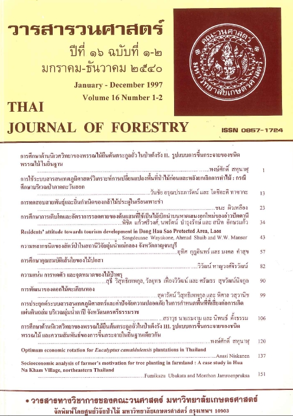
การใช้ระบบสารสนเทศภูมิศาสตร์วิเคราะห์การเปลี่ยนแปลงพื้นที่ป่าไม้ ก่อนและหลังยกเลิกการทำไม้ : กรณีศึกษาบริเวณป่าภาคตะวันออก
Main Article Content
บทคัดย่อ
การวิจัยครั้งนี้มีวัตถุประสงค์เพื่อวิเคราะห์การเปลี่ยนแปลงพื้นที่ป่าไม้ทางภาคตะวันออกก่อนและภายหลังการยกเลิกสัมปทานทำไม้เมื่อต้นปี พ.ศ. 2532 และวิเคราะห์ปัจจัยทางกายภาพของพื้นที่ที่คาดว่าเอื้ออำนวยต่อการทำให้พื้นที่ป่าเปลี่ยนแปลงได้ง่าย ทั้งนี้โดยการประยุกต์ใช้ระบบสารสนเทศภูมิศาสตร์ (Geographic Information Systern; GIS) เพื่อจัดสร้าง 1) ฐานข้อมูลพื้นที่ป่าไม้ภาคตะวันออกปี พ.ศ. 2516, 2519, 2525, 2528, 2532 และ 2534 2) ฐานข้อมูลความลาดชันของพื้นที่ และ 3) ฐานข้อมูลเส้นทางคมนาคมและทำการวิเคราะห์ด้วยเทคนิคการ overlay และ buffer ของโปรแกรมระบบสารสนเทศภูมิศาสตร์แบบเวกเตอร์ Pc ARCINFO ผลจากการวิเคราะห์พบว่าพื้นที่ป่าไม้ลดลงในอัตราเฉลี่ยต่อปีเท่ากับ 5.6 % และ 1.8 % ระหว่างปี พ.ศ. 2516 - 2525 และ 2525 - 2532 (ก่อนยกเลิกสัมปทานทำไม้) ตามลำดับ และลดลงในอัตราเฉลี่ยต่อปีเท่ากับ 2.8 % ระหว่างปี พ.ศ. 2532 - 2534 (ภายหลังยกเลิกสัมปทานทำไม้) แสดงให้เห็นชัดเจนว่าการยกเลิกสัมปทานทำไม้ไม่ได้ช่วยลดอัตราการลดลงของพื้นที่ป่าไม้แต่อย่างใด เมื่อวิเคราะห์ร่วมกับปัจจัยทางกายภาพของพื้นที่พบว่า กว่า 70 % ของพื้นที่ป่าที่ลดลงอยู่บริเวณที่ราบที่มีความลาดชันต่ำกว่า 8 % ตำแหน่งและทิศทางของการลดลงของพื้นที่ป่าไม้มีความสัมพันธ์โดยตรงกับเส้นทางคมนาคม พื้นที่ใดที่มีเส้นทางคมนาคมผ่าน พื้นที่ป่าจะลดลงเป็นบริเวณกว้างกว่าพื้นที่ที่อยู่ห่างไกลจากเส้นทางคมนาคม
Downloads
Article Details

อนุญาตภายใต้เงื่อนไข Creative Commons Attribution-NonCommercial-NoDerivatives 4.0 International License.
ข้าพเจ้าและผู้เขียนร่วม (ถ้ามี) ขอรับรองว่า ต้นฉบับที่เสนอมานี้ยังไม่เคยได้รับการตีพิมพ์และไม่ได้อยู่ในระหว่างกระบวนการพิจารณาตีพิมพ์ลงในวารสารหรือสิ่งตีพิมพ์อื่นใด ข้าพเจ้าและผู้เขียนร่วม (ถ้ามี) ยอมรับหลักเกณฑ์และเงื่อนไขการพิจารณาต้นฉบับ ทั้งยินยอมให้กองบรรณาธิการมีสิทธิ์พิจารณาและตรวจแก้ต้นฉบับได้ตามที่เห็นสมควร พร้อมนี้ขอมอบลิขสิทธิ์ผลงานที่ได้รับการตีพิมพ์ให้แก่วารสารวนศาสตร์ คณะวนศาสตร์ มหาวิทยาลัยเกษตรศาสตร์ กรณีมีการฟ้องร้องเรื่องการละเมิดลิขสิทธิ์เกี่ยวกับภาพ กราฟ ข้อความส่วนใดส่วนหนึ่ง หรือ ข้อคิดเห็นที่ปรากฏในผลงาน ให้เป็นความรับผิดชอบของข้าพเจ้าและผู้เขียนร่วม (ถ้ามี) แต่เพียงฝ่ายเดียว และหากข้าพเจ้าและผู้เขียนร่วม (ถ้ามี) ประสงค์ถอนบทความในระหว่างกระบวนการพิจารณาของทางวารสาร ข้าพเจ้าและผู้เขียนร่วม (ถ้ามี) ยินดีรับผิดชอบค่าใช้จ่ายทั้งหมดที่เกิดขึ้นในกระบวนการพิจารณาบทความนั้น”


