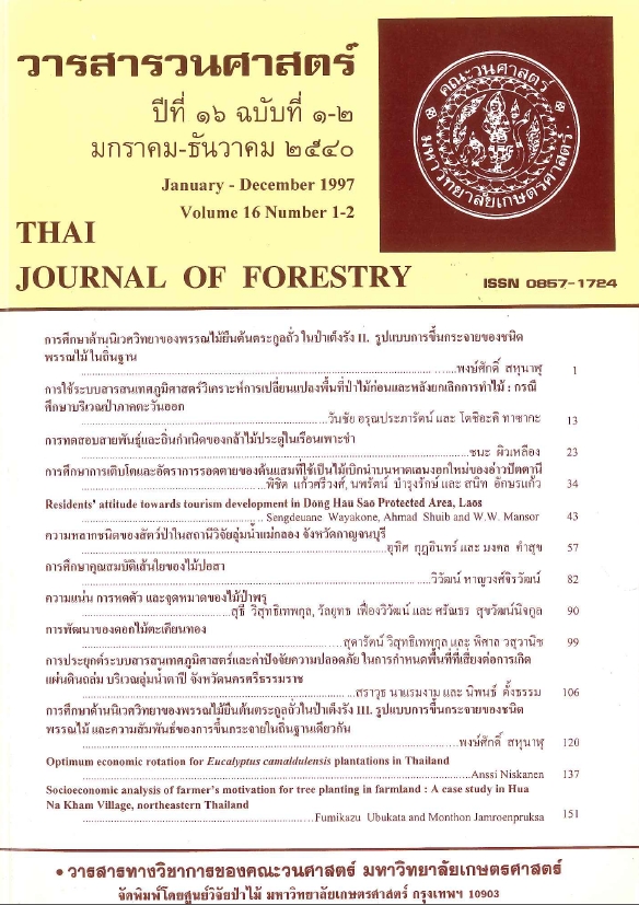
การประยุกต์ระบบสารสนเทศภูมิศาสตร์และค่าปัจจัยความปลอดภัยในการกำหนด พื้นที่ที่เสี่ยงต่อการเกิดแผ่นดินถล่มบริเวณลุ่มน้ำตาปี จังหวัดนครศรีธรรมราช
Main Article Content
บทคัดย่อ
สมการหาปัจจัยความปลอดภัย (factor of safety, Fs) ของ Abe (1978), Gray และ Megahan (1981), Gray และ Leiser (1982), Wu และคณะ (1971) และของ Coppin และ Richards (1990) ได้ถูกนำมาประยุกต์ทำแผนที่เขตแผ่นดินถล่มใน 2 ลุ่มน้ำย่อย ของลุ่มน้ำตาปี โดยอาศัยแผนที่แผ่นดินถล่มที่แปลตีความจากภาพถ่ายดาวเทียม Landsat ที่ถ่ายทำในวันที่ 22 พฤศจิกายน 2535 อันเป็นวันที่เกิดแผ่นดินถล่มอย่างรุนแรงร่วมกับการใช้เทคนิคระบบสารสนเทศภูมิศาสตร์ (GIS) ความสามารถในการประยุกต์ใช้ได้และประสิทธิภาพในการกำหนดตำแหน่งแผ่นดินถล่มของแต่ละสมการ ทำการตรวจวัดโดยอาศัยค่าเปอร์เซนต์การซ้อนทับกันของพื้นที่และตำแหน่งที่เกิดระหว่างพื้นที่จริงที่แปลจากภาพถ่ายดาวเทียมและแผนที่ที่ได้จากแต่ละสมการ (CV) ผลที่ได้ ปรากฏว่าทุกสมการให้ค่า CV ต่ำกว่า 20 % เมื่อผนวกเอาปัจจัยความเร็วลม 40 กม. / ซม. ซึ่งเป็นอัตราเฉลี่ยในวันเกิดเหตุใส่เข้าในการคำนวณในสมการของ Coppin และ Richards จะให้ค่า CV สูงขึ้นขึ้น (16.2 และ 15.52 % เมื่อกำหนดให้ดินลึก 1.0 และ 0.5 เมตร ตามลำดับ) สมการที่เหลือให้ค่า CV ต่ำ ทั้งนี้สมการของ Wu และคณะ ให้ค่า CV สูงสุด 16.07, 15.85 และ 15.85 % เมื่อกำหนดให้ดินลึก 2, 2.5 และ 3 เมตร ตามลำดับ กล่าวโดยทั่วไปแล้ว แม้ว่าทุกสมการจะยังให้ค่า CV ที่ต่ำอยู่ แต่ดูเหมือนว่าสมการของ Wu และคณะ เหมาะสมที่สุดในการทำแผนที่แผ่นดินถล่มในพื้นที่นี้
Downloads
Article Details

อนุญาตภายใต้เงื่อนไข Creative Commons Attribution-NonCommercial-NoDerivatives 4.0 International License.
ข้าพเจ้าและผู้เขียนร่วม (ถ้ามี) ขอรับรองว่า ต้นฉบับที่เสนอมานี้ยังไม่เคยได้รับการตีพิมพ์และไม่ได้อยู่ในระหว่างกระบวนการพิจารณาตีพิมพ์ลงในวารสารหรือสิ่งตีพิมพ์อื่นใด ข้าพเจ้าและผู้เขียนร่วม (ถ้ามี) ยอมรับหลักเกณฑ์และเงื่อนไขการพิจารณาต้นฉบับ ทั้งยินยอมให้กองบรรณาธิการมีสิทธิ์พิจารณาและตรวจแก้ต้นฉบับได้ตามที่เห็นสมควร พร้อมนี้ขอมอบลิขสิทธิ์ผลงานที่ได้รับการตีพิมพ์ให้แก่วารสารวนศาสตร์ คณะวนศาสตร์ มหาวิทยาลัยเกษตรศาสตร์ กรณีมีการฟ้องร้องเรื่องการละเมิดลิขสิทธิ์เกี่ยวกับภาพ กราฟ ข้อความส่วนใดส่วนหนึ่ง หรือ ข้อคิดเห็นที่ปรากฏในผลงาน ให้เป็นความรับผิดชอบของข้าพเจ้าและผู้เขียนร่วม (ถ้ามี) แต่เพียงฝ่ายเดียว และหากข้าพเจ้าและผู้เขียนร่วม (ถ้ามี) ประสงค์ถอนบทความในระหว่างกระบวนการพิจารณาของทางวารสาร ข้าพเจ้าและผู้เขียนร่วม (ถ้ามี) ยินดีรับผิดชอบค่าใช้จ่ายทั้งหมดที่เกิดขึ้นในกระบวนการพิจารณาบทความนั้น”


