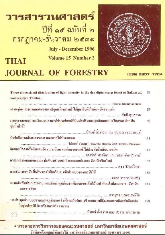
การประยุกต์ระบบสารสนเทศภูมิศาสตร์ เพื่อหาปัจจัยชีวภาพที่มีผลต่อ การเกิดแผ่นดินถล่ม ในลุ่มน้ำตาปี จังหวัดนครศรีธรรมราช
Main Article Content
บทคัดย่อ
การศึกษาเพื่อหาว่าปัจจัยทางชีวกายภาพอะไรบ้างที่มีผลต่อการเกิดแผ่นดินถล่มในพื้นที่ลุ่มน้ำตาปี ได้ดำเนินการโดยใช้แผนที่ความลาดชัน แผนที่ธรณีวิทยา แผนที่การใช้ประโยชน์ที่ดิน และแผนที่ระบบทางน้ำของลุ่มน้ำย่อย 2 ลุ่มน้ำ คือ ลุ่มน้ำคลองกระทูน และลุ่มน้ำคลองดินแดง ทั้งนี้ได้ใช้ระบบสารสนเทศภูมิศาสตร์ (GIS) เป็นเครื่องมือในการซ้อนทับแผนที่ต่าง ๆ ดังกล่าว กับแผนที่แผ่นดินถล่มที่แปลตีความจากภาพถ่ายดาวเทียม Landsat ซึ่งถ่ายทำเมื่อวันที่ 22 พฤศจิกายน 2531 อันเป็นช่วงเวลาที่ได้เกิดแผ่นดินถล่มและอุทกภัยอย่างรุนแรงในพื้นที่ศึกษา ผลการศึกษาพบว่า จากพื้นที่แผ่นดินถล่มทั้งหมด 14.75 ตารางกิโลเมตรนั้น ประมาณร้อยละ 6.19 เกิดในพื้นที่ ๆ มีความลาดเทสูงอยู่ระหว่าง 17º - 35º บนฐานธรณีที่เป็นหินแกรนิต และเกิดทั้งในที่ ๆ มีป่าไม้ และสวนยางปกคลุมอยู่ พื้นที่แผ่นดินถล่มเพิ่มขึ้นตามความลาดเทที่เพิ่มขึ้น โดยเกิดขึ้นสูงสุดในพื้นที่ ๆ มีความลาดเทสูงกว่า 35º บริเวณที่เป็นหินแกรนิตจะมีแผ่นดินถล่มเกิดได้สูงสุด (ประมาณ 7.6 %) ตามมาด้วยบริเวณที่เป็นหินดินดาน และหินชนวน และบริเวณดินทับถมสองฝั่งลำน้ำ ส่วนปัจจัยชีวภาพนั้นบริเวณเกิดแผ่นดินถล่มส่วนใหญ่พบในพื้นที่สวนยาง (7.5 % ของพื้นที่สวนยาง) ในพื้นที่ป่า (5.98 %) ส่วนร่องลึก (gullies) และทางน้ำลำดับต่าง ๆ มีผลต่อการเกิดแผ่นดินถล่มน้อยในพื้นที่นี้
Downloads
Article Details

อนุญาตภายใต้เงื่อนไข Creative Commons Attribution-NonCommercial-NoDerivatives 4.0 International License.
ข้าพเจ้าและผู้เขียนร่วม (ถ้ามี) ขอรับรองว่า ต้นฉบับที่เสนอมานี้ยังไม่เคยได้รับการตีพิมพ์และไม่ได้อยู่ในระหว่างกระบวนการพิจารณาตีพิมพ์ลงในวารสารหรือสิ่งตีพิมพ์อื่นใด ข้าพเจ้าและผู้เขียนร่วม (ถ้ามี) ยอมรับหลักเกณฑ์และเงื่อนไขการพิจารณาต้นฉบับ ทั้งยินยอมให้กองบรรณาธิการมีสิทธิ์พิจารณาและตรวจแก้ต้นฉบับได้ตามที่เห็นสมควร พร้อมนี้ขอมอบลิขสิทธิ์ผลงานที่ได้รับการตีพิมพ์ให้แก่วารสารวนศาสตร์ คณะวนศาสตร์ มหาวิทยาลัยเกษตรศาสตร์ กรณีมีการฟ้องร้องเรื่องการละเมิดลิขสิทธิ์เกี่ยวกับภาพ กราฟ ข้อความส่วนใดส่วนหนึ่ง หรือ ข้อคิดเห็นที่ปรากฏในผลงาน ให้เป็นความรับผิดชอบของข้าพเจ้าและผู้เขียนร่วม (ถ้ามี) แต่เพียงฝ่ายเดียว และหากข้าพเจ้าและผู้เขียนร่วม (ถ้ามี) ประสงค์ถอนบทความในระหว่างกระบวนการพิจารณาของทางวารสาร ข้าพเจ้าและผู้เขียนร่วม (ถ้ามี) ยินดีรับผิดชอบค่าใช้จ่ายทั้งหมดที่เกิดขึ้นในกระบวนการพิจารณาบทความนั้น”


