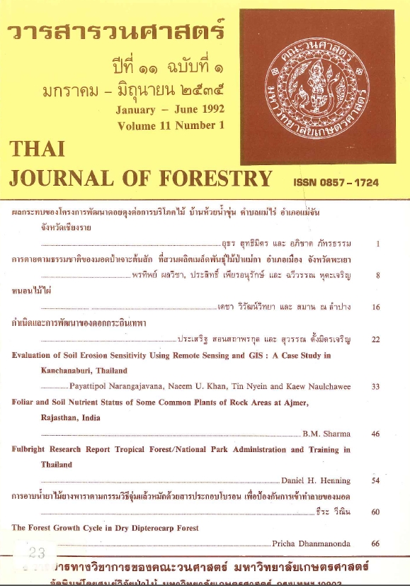
EVALUATION OF SOIL EROSION SENSITIVITY USING REMOTE SENSING AND GIS: A CASE STUDY IN KANCHANABURI, THAILAND
Main Article Content
บทคัดย่อ
The advantage of a combination of Remote Sensing (RS) and Geographic Information System (GIS) techniques has great potential for supplying databases on natural resources management. In this study, the area 15x15 km in Thong Pha Phum district, Kanchanaburi province was investigated for soil erosion sensitivity. Five erosion factors were used for the production of an erosion hazard map. It consists of: 1) slope gradient; 2) soil erodibility; 3) drainage density; 4) vegetation cover; and 5) conservation practices. The interpretation of LANDSAT TM dated 12 December 1989 for the delineation of land use patterns provided a vegetation factor. Field trips were also conducted for map verification and data collection. The integration of these five erosion factors was performed on the digital GIS. The results showed that 63.5% of this area was flat (0-2% slope) and the land use types mostly dominated by the intensive of agricultural crops without a conservation practices. The final erosion sensitivity map mostly showed a low and moderate level which correlated very well to the field observation. Since, there are signs of rill erosion and shifting cultivation in this study area, we suggested that the serious erosion problems may occur in the near future.
Downloads
Article Details

อนุญาตภายใต้เงื่อนไข Creative Commons Attribution-NonCommercial-NoDerivatives 4.0 International License.
ข้าพเจ้าและผู้เขียนร่วม (ถ้ามี) ขอรับรองว่า ต้นฉบับที่เสนอมานี้ยังไม่เคยได้รับการตีพิมพ์และไม่ได้อยู่ในระหว่างกระบวนการพิจารณาตีพิมพ์ลงในวารสารหรือสิ่งตีพิมพ์อื่นใด ข้าพเจ้าและผู้เขียนร่วม (ถ้ามี) ยอมรับหลักเกณฑ์และเงื่อนไขการพิจารณาต้นฉบับ ทั้งยินยอมให้กองบรรณาธิการมีสิทธิ์พิจารณาและตรวจแก้ต้นฉบับได้ตามที่เห็นสมควร พร้อมนี้ขอมอบลิขสิทธิ์ผลงานที่ได้รับการตีพิมพ์ให้แก่วารสารวนศาสตร์ คณะวนศาสตร์ มหาวิทยาลัยเกษตรศาสตร์ กรณีมีการฟ้องร้องเรื่องการละเมิดลิขสิทธิ์เกี่ยวกับภาพ กราฟ ข้อความส่วนใดส่วนหนึ่ง หรือ ข้อคิดเห็นที่ปรากฏในผลงาน ให้เป็นความรับผิดชอบของข้าพเจ้าและผู้เขียนร่วม (ถ้ามี) แต่เพียงฝ่ายเดียว และหากข้าพเจ้าและผู้เขียนร่วม (ถ้ามี) ประสงค์ถอนบทความในระหว่างกระบวนการพิจารณาของทางวารสาร ข้าพเจ้าและผู้เขียนร่วม (ถ้ามี) ยินดีรับผิดชอบค่าใช้จ่ายทั้งหมดที่เกิดขึ้นในกระบวนการพิจารณาบทความนั้น”


