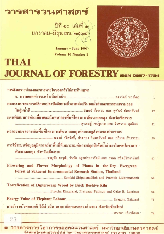
การใช้ระบบข้อมูลภูมิศาสตร์หาพื้นที่ที่เหมาะสมต่อการปลูกป่า ต้นน้ำลำธารในเขตโครงการพัฒนาดอยตุง จังหวัดเชียงราย
Main Article Content
บทคัดย่อ
การหาพื้นที่ที่มีความเหมาะสมต่อการปลูกป่าต้นน้ำลำธารในเขตโครงการพัฒนาดอยตุง ท้องที่อำเภอแม่จันและอำเภอแม่สาย จังหวัดเชียงราย ซึ่งมีเนื้อที่โครงการประมาณ 149.625 ตร.กม. (93515 ไร่) โดยใช้ระบบข้อมูลภูมิศาสตร์ (Geographic Information System ; GIS) จัดเก็บข้อมูลในรูปตารางกริด r(aster format) ขนาด 0.25 x 0.25 ตร.กม. ด้วยโปรแกรม GIST (Geographic Information System Tutorial) ของสถาบันเทคโนโลยีแห่งเอเชีย (AIT) ข้อมูลที่จัดเก็บประกอบด้วย ความสูงจากระดับน้ำทะเล, ความลาดชัน, ทิศด้านลาด, เส้นทางคมนาคม, ลักษณะดิน, แหล่งน้ำ และการใช้ประโยชน์ที่ดิน ทำการวิเคราะห์หาพื้นที่ที่มีความเหมาะสมต่อการปลูกป่าต้นน้ำลำธาร โดยกำหนดหลักเกณฑ์พื้นที่ดังนี้ เป็นพื้นที่ สื่อมโทรมหรือพื้นที่รกร้าง มีความสูงมากกว่า 800 เมตรจากระดับน้ำทะเล มีความลาดชันมากกว่า 60% ข้อมูลที่เกี่ยวข้องและนำมาใช้วิเคราะห์มี 4 ชนิด คือ การใช้ประโยชน์ที่ดิน ความลาดชัน และความสูงของพื้นที่จากระดับน้ำทะเลปานกลาง จากการวิเคราะห์ได้รับแผนที่แสดงพื้นที่มีความเหมาะสม การปลูกป่าต้นน้ำลำธาร คิดเป็นเนื้อที่ 33.625 ตร.กม. (21,015.625 ไร่)
Downloads
Article Details

อนุญาตภายใต้เงื่อนไข Creative Commons Attribution-NonCommercial-NoDerivatives 4.0 International License.
ข้าพเจ้าและผู้เขียนร่วม (ถ้ามี) ขอรับรองว่า ต้นฉบับที่เสนอมานี้ยังไม่เคยได้รับการตีพิมพ์และไม่ได้อยู่ในระหว่างกระบวนการพิจารณาตีพิมพ์ลงในวารสารหรือสิ่งตีพิมพ์อื่นใด ข้าพเจ้าและผู้เขียนร่วม (ถ้ามี) ยอมรับหลักเกณฑ์และเงื่อนไขการพิจารณาต้นฉบับ ทั้งยินยอมให้กองบรรณาธิการมีสิทธิ์พิจารณาและตรวจแก้ต้นฉบับได้ตามที่เห็นสมควร พร้อมนี้ขอมอบลิขสิทธิ์ผลงานที่ได้รับการตีพิมพ์ให้แก่วารสารวนศาสตร์ คณะวนศาสตร์ มหาวิทยาลัยเกษตรศาสตร์ กรณีมีการฟ้องร้องเรื่องการละเมิดลิขสิทธิ์เกี่ยวกับภาพ กราฟ ข้อความส่วนใดส่วนหนึ่ง หรือ ข้อคิดเห็นที่ปรากฏในผลงาน ให้เป็นความรับผิดชอบของข้าพเจ้าและผู้เขียนร่วม (ถ้ามี) แต่เพียงฝ่ายเดียว และหากข้าพเจ้าและผู้เขียนร่วม (ถ้ามี) ประสงค์ถอนบทความในระหว่างกระบวนการพิจารณาของทางวารสาร ข้าพเจ้าและผู้เขียนร่วม (ถ้ามี) ยินดีรับผิดชอบค่าใช้จ่ายทั้งหมดที่เกิดขึ้นในกระบวนการพิจารณาบทความนั้น”


