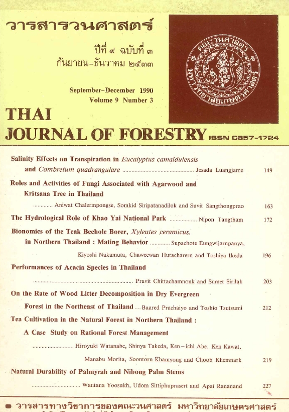
THE HYDROLOGICAL ROLE OF KHAO YAI NATIONAL PARK
Main Article Content
บทคัดย่อ
The hydrolgical role of Khao Yai National Park as a function of watershed ecosystems was investigated using historical data of runoff and sediment discharges recorded during 1964-1986 by the Royal Irrigation Department, National Energy Authority and Electricity Generating Authority of Thailand. The specific yield, seasonal distribution, water budget, flow timing (flow dates and flow intervals) including sediment yield and some physical water qualities contributed from eight catchments having their headwater source in Khao Yai National Park were analysed. Probable impacts of deforestation in those watersheds on flow magnitude, erosion and sedimentation were also attempted to determine. It was found that at the time of the study (1982) when Khao Yai was covered by 89 percent forest and average annual rainfall of 1600 mm, the runoff discharge was generated 0.87 mcm/sq. km/yr. The catchments with less than 70 percent forest cover contained streams with higher values of pH, turbidity, color, electrical conductivity, total dissolved solids and hardness. The bulk of surface water from Khao Yai takes place during the rainy season (May to October) with peak flows from August to October. Overall, the ratio between wet and dry flows is 10 : 1. The basin with the least amount of forest cover was shown to have the shortest half- flow and quarter- flow intervals of all basins, indicating rapid runoff during high rainfall periods. Regression analysis indicated that for every 10 percent decrease in forest area of Khao Yai, runoff will decrease by about 47 mcm/yr. The present catchment erosion rates of Khao Yai average 0.05 mm/yr (0.65 ton/ha/yr).
Downloads
Article Details

อนุญาตภายใต้เงื่อนไข Creative Commons Attribution-NonCommercial-NoDerivatives 4.0 International License.
ข้าพเจ้าและผู้เขียนร่วม (ถ้ามี) ขอรับรองว่า ต้นฉบับที่เสนอมานี้ยังไม่เคยได้รับการตีพิมพ์และไม่ได้อยู่ในระหว่างกระบวนการพิจารณาตีพิมพ์ลงในวารสารหรือสิ่งตีพิมพ์อื่นใด ข้าพเจ้าและผู้เขียนร่วม (ถ้ามี) ยอมรับหลักเกณฑ์และเงื่อนไขการพิจารณาต้นฉบับ ทั้งยินยอมให้กองบรรณาธิการมีสิทธิ์พิจารณาและตรวจแก้ต้นฉบับได้ตามที่เห็นสมควร พร้อมนี้ขอมอบลิขสิทธิ์ผลงานที่ได้รับการตีพิมพ์ให้แก่วารสารวนศาสตร์ คณะวนศาสตร์ มหาวิทยาลัยเกษตรศาสตร์ กรณีมีการฟ้องร้องเรื่องการละเมิดลิขสิทธิ์เกี่ยวกับภาพ กราฟ ข้อความส่วนใดส่วนหนึ่ง หรือ ข้อคิดเห็นที่ปรากฏในผลงาน ให้เป็นความรับผิดชอบของข้าพเจ้าและผู้เขียนร่วม (ถ้ามี) แต่เพียงฝ่ายเดียว และหากข้าพเจ้าและผู้เขียนร่วม (ถ้ามี) ประสงค์ถอนบทความในระหว่างกระบวนการพิจารณาของทางวารสาร ข้าพเจ้าและผู้เขียนร่วม (ถ้ามี) ยินดีรับผิดชอบค่าใช้จ่ายทั้งหมดที่เกิดขึ้นในกระบวนการพิจารณาบทความนั้น”


