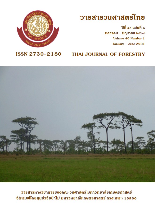
การประยุกต์ภูมิสารสนเทศในการคาดการณ์การเปลี่ยนแปลงการใช้ที่ดิน บริเวณอุทยานแห่งชาติพุเตย
Main Article Content
บทคัดย่อ
การศึกษานี้มีวัตถุประสงค์เพื่อประยุกต์ระบบภูมิสารสนเทศในการคาดการณ์การเปลี่ยนแปลงการใช้ที่ดินบริเวณอุทยานแห่งชาติพุเตย โดยจำแนกประเภทการใช้ประโยชน์ที่ดินในปี พ.ศ. 2538, 2550 และ 2562 จากภาพถ่ายดาวเทียม LANDSAT 5 และ 8 ด้วยเทคนิคการแปลตีความหมายด้วยสายตา ร่วมกับแบบจำลอง
CA-Markov เพื่อคาดการณ์การใช้ที่ดิน ปี พ.ศ. 2574
ผลการศึกษาพบว่า พื้นที่ศึกษามีพื้นที่ทั้งหมด 864.31 ตารางกิโลเมตร ประกอบด้วย พื้นที่อุทยานแห่งชาติพุเตย และพื้นที่โดยรอบรัศมี 3 กิโลเมตร มีรูปแบบการใช้ที่ดิน 5 ประเภท คือ พื้นที่ป่าไม้ พื้นที่เกษตรกรรม พื้นที่ชุมชน และสิ่งปลูกสร้าง พื้นที่น้ำ และพื้นที่เบ็ดเตล็ด การเปลี่ยนแปลงการใช้ประโยชน์ที่ดินในช่วงปี 2538-2550 พบว่า มีพื้นที่เปลี่ยนแปลงรวมทั้งสิ้น 84.76 ตารางกิโลเมตร คิดเป็นร้อยละ 9.81 ของพื้นที่ทั้งหมด โดยพื้นที่ป่าไม้เปลี่ยนแปลงมากที่สุด 42.38 ตารางกิโลเมตร คิดเป็นร้อยละ 50 และพื้นที่เกษตรกรรมเพิ่มขึ้น 35.17 ตารางกิโลเมตร คิดเป็นร้อยละ 41.49 ในช่วงปี พ.ศ. 2550-2562 พบว่า มีพื้นที่เปลี่ยนแปลงรวมทั้งสิ้น 5.96 ตารางกิโลเมตร คิดเป็นร้อยละ 0.34 ของพื้นที่ทั้งหมด โดยพื้นที่ป่าไม้เปลี่ยนแปลงมากที่สุด 2.98 ตารางกิโลเมตร คิดเป็นร้อยละ 3.51 และพื้นที่ชุมชนและสิ่งปลูกสร้างมีการเพิ่มขึ้น 1.89 ตารางกิโลเมตร คิดเป็นร้อยละ 31.67 จากการทดสอบความถูกต้องของแบบจำลอง พบว่า มีความถูกต้องร้อยละ 84.55 และจากการคาดการณ์การใช้ที่ดิน พ.ศ. 2574 พบว่า มีพื้นที่ป่าไม้ พื้นที่เกษตรกรรม พื้นที่ชุมชน และสิ่งปลูกสร้าง พื้นที่แหล่งน้ำและพื้นที่เบ็ดเตล็ด เท่ากับ 589.60, 257.19, 2.87, 14.64 และ 0.01 ตารางกิโลเมตร ตามลำดับ ซึ่งการเปลี่ยนแปลงของพื้นที่ป่าไม้ไปเป็นพื้นที่เกษตรกรรม จำเป็นจะต้องมีมาตรการเฝ้าระวัง และแก้ไขปัญหาการใช้ที่ดินให้เหมาะสมต่อไป โดยเฉพาะอย่างยิ่งบริเวณ บ้านตะเพินคี่ บ้านกล้วย บ้านองค์พระ บ้านวังหน่อไม้ บ้านหนองอีนาก บ้านห้วยหินดำ บ้านวังยาว บ้านวังจรเข้ บ้านละว้าวังควาย บ้านวังโหรา
คำสำคัญ: การประยุกต์ภูมิสารสนเทศ การเปลี่ยนแปลงการใช้ที่ดิน CA-Markov อุทยานแห่งชาติพุเตย
Downloads
Article Details

อนุญาตภายใต้เงื่อนไข Creative Commons Attribution-NonCommercial-NoDerivatives 4.0 International License.
ข้าพเจ้าและผู้เขียนร่วม (ถ้ามี) ขอรับรองว่า ต้นฉบับที่เสนอมานี้ยังไม่เคยได้รับการตีพิมพ์และไม่ได้อยู่ในระหว่างกระบวนการพิจารณาตีพิมพ์ลงในวารสารหรือสิ่งตีพิมพ์อื่นใด ข้าพเจ้าและผู้เขียนร่วม (ถ้ามี) ยอมรับหลักเกณฑ์และเงื่อนไขการพิจารณาต้นฉบับ ทั้งยินยอมให้กองบรรณาธิการมีสิทธิ์พิจารณาและตรวจแก้ต้นฉบับได้ตามที่เห็นสมควร พร้อมนี้ขอมอบลิขสิทธิ์ผลงานที่ได้รับการตีพิมพ์ให้แก่วารสารวนศาสตร์ คณะวนศาสตร์ มหาวิทยาลัยเกษตรศาสตร์ กรณีมีการฟ้องร้องเรื่องการละเมิดลิขสิทธิ์เกี่ยวกับภาพ กราฟ ข้อความส่วนใดส่วนหนึ่ง หรือ ข้อคิดเห็นที่ปรากฏในผลงาน ให้เป็นความรับผิดชอบของข้าพเจ้าและผู้เขียนร่วม (ถ้ามี) แต่เพียงฝ่ายเดียว และหากข้าพเจ้าและผู้เขียนร่วม (ถ้ามี) ประสงค์ถอนบทความในระหว่างกระบวนการพิจารณาของทางวารสาร ข้าพเจ้าและผู้เขียนร่วม (ถ้ามี) ยินดีรับผิดชอบค่าใช้จ่ายทั้งหมดที่เกิดขึ้นในกระบวนการพิจารณาบทความนั้น”
เอกสารอ้างอิง
Eastman, Ronald J. 2006. IDRISI Andes Guide to GIS and Image Processing. Clark Labs, Clark University, USA
Eastman, Ronald J. 2016. Terrset Geospatial Monitoring and Modeling System Manual. Clark Labs, Clark University, USA
E.T.Jaynes. 2003. Probability Theory The logic of Science. Cambridge University, USA
Grainger, A. 1990. Modeling Deforestation in the Tropics 349 p., In: Deforestation or Development in the Third World Vol. III., Finish Forest Research Institute, Division of Social Economic of Forestry, Helsinki, Finland.
Land Development Department. 2003. The Data of Classification Land use type. Ministry of Agricultural and Cooperatives, Bangkok
Office of Natural Resources and Environmental Policy and Planning. 2548. Complete report on the improvement of the watershed classification scheme and recommendations for land use measures in the Ping-Wang River Basin According to the cabinet resolution on 28 May 1985. Office of Natural Resources and Environmental Policy and Planning. Ministry of Natural Resources and Environment, Bangkok
Takeyama, M. and H. Couclelis. 1997. Map dynamics: integrating cellular automata and GIS though geo-algeba, pp. 73-91. International Journal of Geographical Information Science.
Wagner, D.F. 1997. Cellular automata and geographic information systems, pp. 219-234. Environment and Planning.


