
การใช้แบบจำลองเพื่อศึกษาการใช้พื้นที่ชะลอน้ำในการลดพื้นที่น้ำท่วมบริเวณลุ่มน้ำเจ้าพระยาตอนล่าง
Article Sidebar
Main Article Content
Abstract
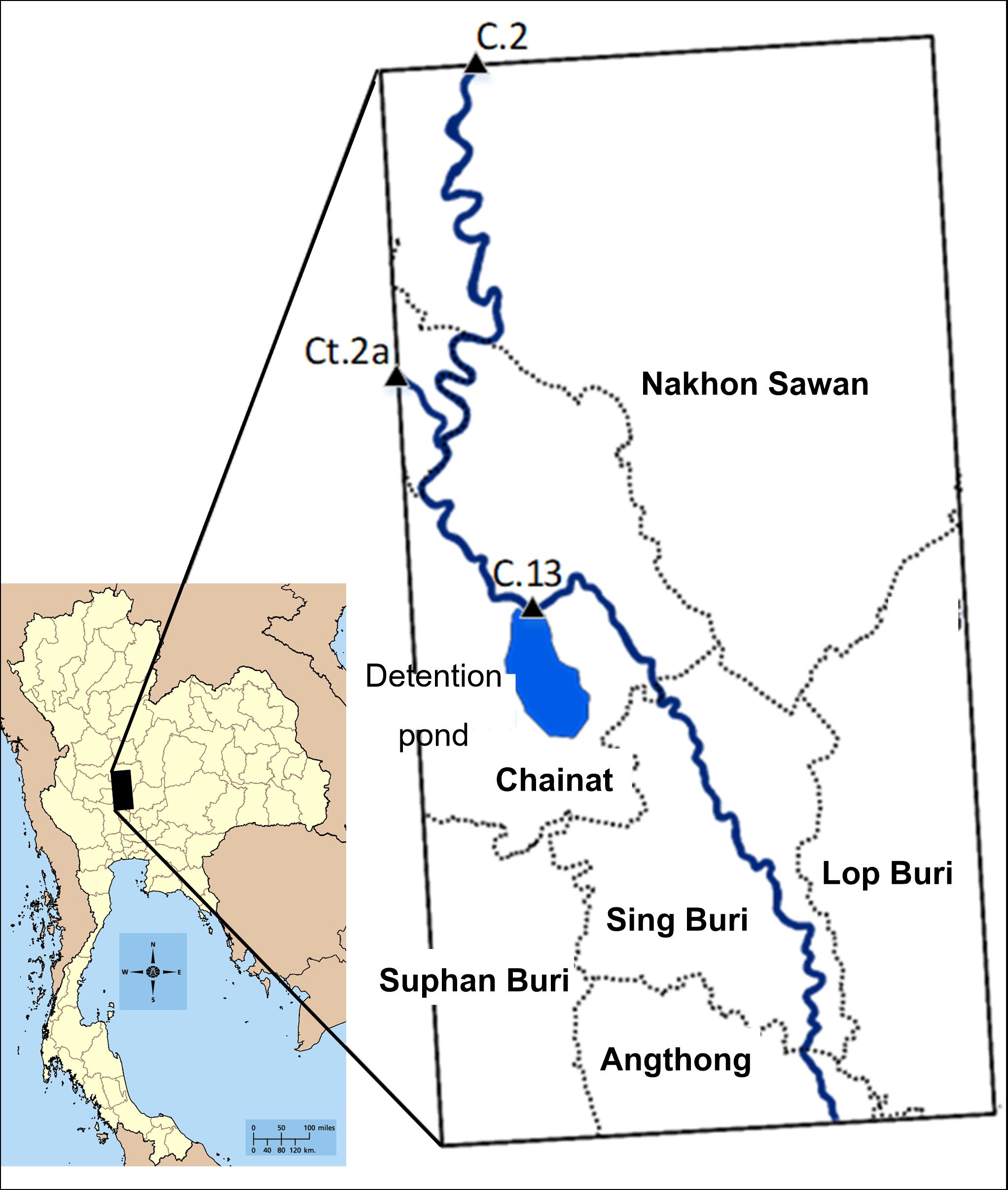
This study aims to apply detention pond to reduce flood inundation in Lower Chao Pharya River Basin by using numerical model. SRTM DEM and the discharge data were used as the input data. The flood situation in 2011 was used for the model calibration process. The results from the model calibration showed that the water depth from iRIC model was compared with the flood mark that was observed by IMPAC-T. The differences of water depth were 0.01-0.97 m. Flood inundation area from iRIC model and the satellite image from GISTDA had similar shape. For the verification process, the flood situation in 2013 was used. A good agreement between the results from iRIC model and the satellite image from GISTDA was
Also found. Then, the flood inundation with 5, 10, 20, and 25 years return period had been modelled. The flood inundation areas of 2,210.81, 2,330.23, 2,376.47, and 2,427.50 km2 were found from the return periods of 5, 10, 20, and 25 years, respectively. Moreover, the detention pond was applied to study the reduction of the flooded area. The average flood depth of 0.08, 0.07, and 0.04 m with the area of 53.10, 65.10, and 15.08 km2 can reduce for 5, 10, and 20 years return period, respectively. Moreover, the detention pond has no effect on the reduction of the flooded area at the return period of 25 years.
Article Details
บทความที่ได้รับการตีพิมพ์เป็นลิขสิทธิ์ของ วารสารวิทยาศาสตร์และเทคโนโลยี มหาวิทยาลัยอุบลราชธานี
ข้อความที่ปรากฏในบทความแต่ละเรื่องในวารสารวิชาการเล่มนี้เป็นความคิดเห็นส่วนตัวของผู้เขียนแต่ละท่านไม่เกี่ยวข้องกับมหาวิทยาลัยอุบลราชธานี และคณาจารย์ท่านอื่นๆในมหาวิทยาลัยฯ แต่อย่างใด ความรับผิดชอบองค์ประกอบทั้งหมดของบทความแต่ละเรื่องเป็นของผู้เขียนแต่ละท่าน หากมีความผิดพลาดใดๆ ผู้เขียนแต่ละท่านจะรับผิดชอบบทความของตนเองแต่ผู้เดียว
